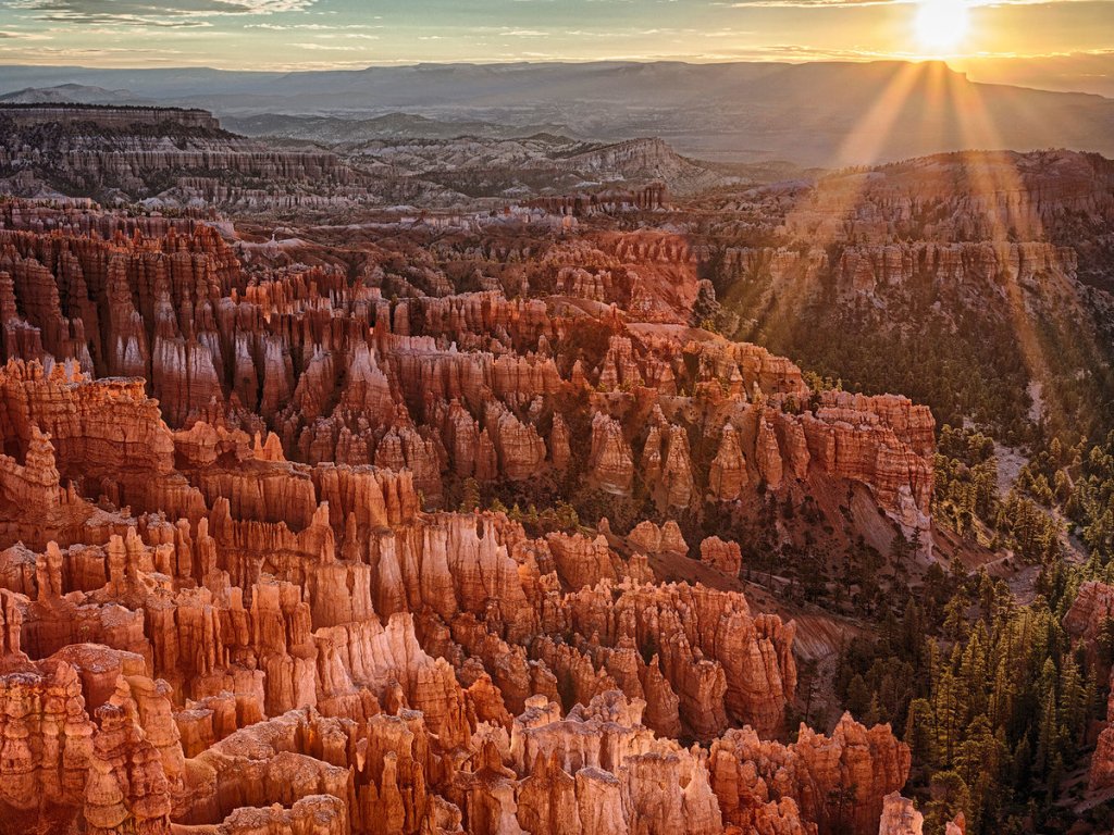
- Bryce’s Broken Bunch of Boulders
- Both Sides of the Atlantic Been in Bryce Canyon
- Bryce, Birds, Blooms
- Let’s Make the Page Title Accurate and Finish
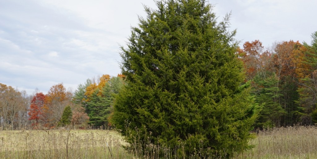
Utah’s Bryce Canyon National Park can be described as “Goblin Valley State Park on Steroids”.
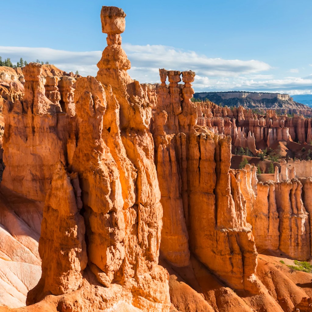
Bigger is better … depending on who you ask; either way, the “hoodoos” of Bryce Canyon are (usually) objectively bigger than those of Goblin Valley State Park; Bryce’s hoodoos could be considered ogres or trolls – courtesy of Outside Magazine
Bryce’s Broken Bunch of Boulders
Bryce Canyon is unusual in that it nearly entirely consists of sedimentary rocks. These form due to deposition of sediments (small rocks, biological material, or particles precipitated out of water) cemented together to create new rocks over time. Bryce’s sedimentary rocks reveal the area was a floodplain, part of a sea, and a desert. The Colorado plateau, which Bryce is part of, was a largely flat part of a lake system and floodplain 50 million years ago. Higher elevations surrounding these had their sediments, via erosion, carried downwards and deposited. These deposits cemented over time to form sedimentary rocks such as sandstones, dolostones, limestones, and mudstones.
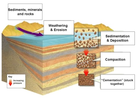
Sedimentary rock formation – courtesy of Nitty Gritty Science
The Colorado plateau was eventually affected by the collision of the North American and Farallon tectonic plates. The Farallon subducted and generated heat which drove the plateau upwards to its current elevation. In addition to being the reason marine fossils are so high in the sky, this made a natural “diagram” of the rock layers and set conditions for new formation creation.
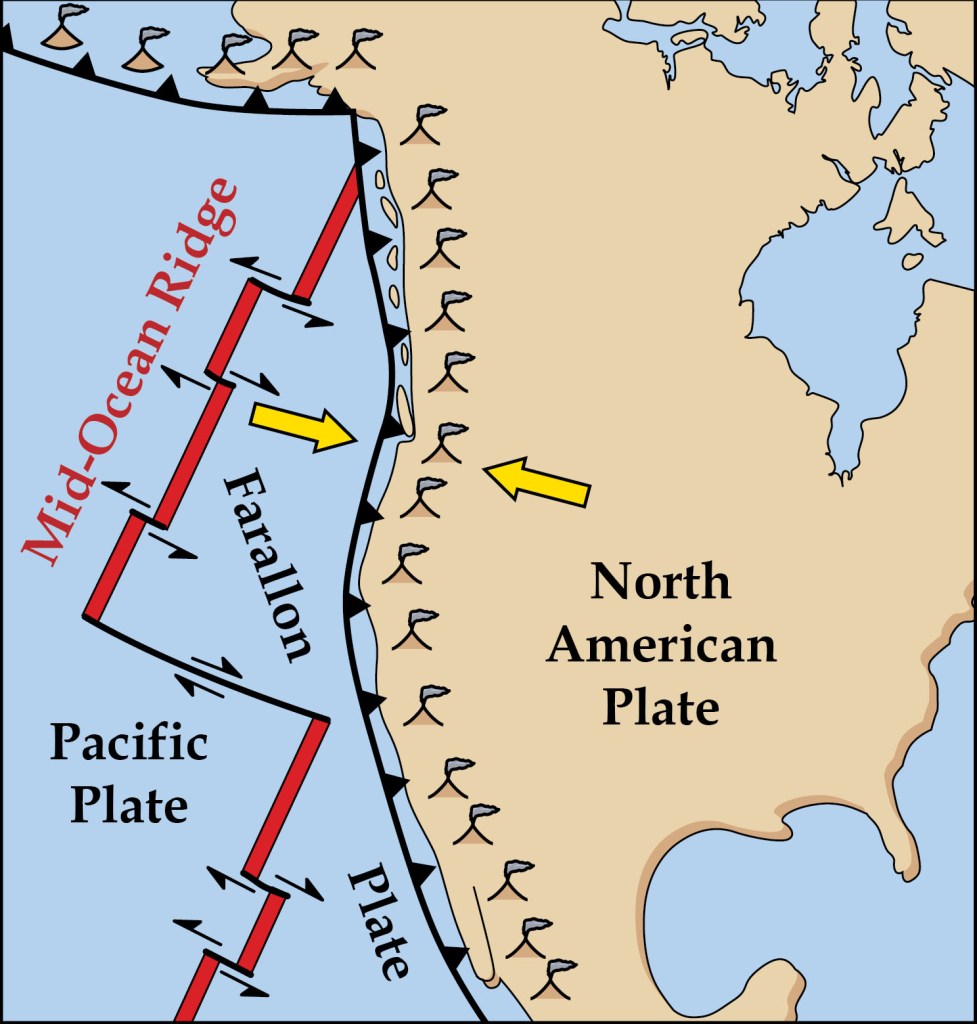
Farallon-North American tectonic collision – courtesy of National Park Service
The hoodoos of Bryce Canyon, as those of Goblin Valley State Park, are sandstone pillars. In both locations, the hoodoos were birthed by weathering (chemical and physical processes that break rocks) and erosion (removal of sediment and rock due to weathering). For 200 days of the year (more or less), the region experiences above and below freezing temperatures. Water does its trick, while ice works a bit more complicatedly. Water seeps into spaces between and within the rocks, and lower temperatures turn it to ice. Ice wedging, or ice expanding within a space, occurs. Rocks are broken first into walls, then windows, then hoodoos as water continues to melt, refreeze, and reenter cracks.
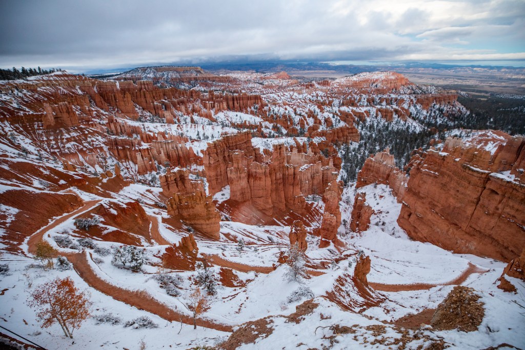
Southwestern snow hints ice is assembling new hoodoos at Bryce – courtesy of Natural Habitat Adventures
Both Sides of the Atlantic Been in Bryce Canyon
Native Americans have been near Bryce Canyon since at least 12,000 years ago, but otherwise little is known regarding the earliest peoples in the canyon. Fremont and Anasazi peoples settled near Bryce in 200 A.D. and for centuries culturally mingled. In 1200 A.D., the Fremont and Anasazi were supplanted by the Paiute.
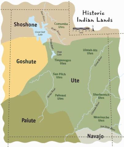
Utah historic tribal boundaries; the Ute (whose name was later applied to the state of Utah) shared (and fought over) territory along with their neighbors, one of whom were the Paiute (who were one of the latest indigenous peoples near Bryce Canyon) – courtesy of Timetoast
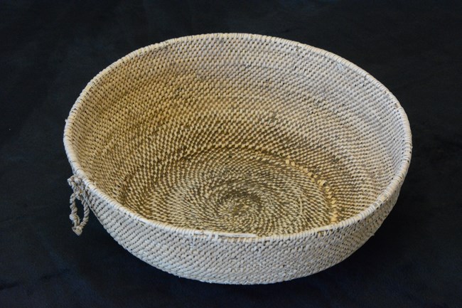
Fremont woven basket – courtesy of National Park Service
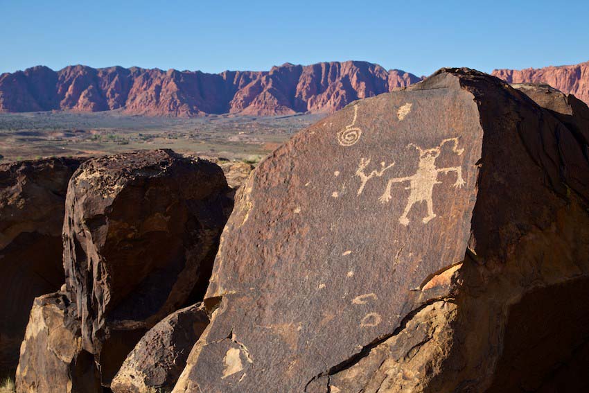
Anasazi petroglyphs – courtesy of Intermountain Healthcare
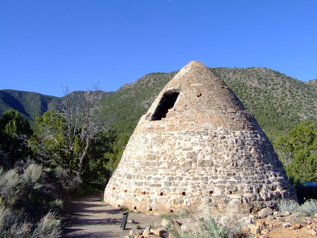
Paiute structure – courtesy of Frontier Homestead State Park
There are Native American myths as to Bryce Canyon’s creation, and one of them is a 1936 explanation by Indian Dick, a Paiute elder who lived on the Kaibab Reservation. His words on the matter: “Before there were humans, the Legend People, To-when-an-ung-wa, lived in that place. There were many of them. They were of many kinds – birds, animals, lizards and such things, but they looked like people. They were not people. They had power to make themselves look that way. For some reason the Legend People in that place were bad; they did something that was not good, perhaps a fight, perhaps stole something….the tale is not clear at this point. Because they were bad, Coyote turned them all into rocks. You can see them in that place now all turned to rocks; some standing in rows, some sitting down, some holding onto others. You can see their faces, with paint on them just as they were before they became rocks. The name of that place is Angka-ku-wass-a-wits (red painted faces). This is the story the people tell”.
Indian Dick’s phrase “the tale is not clear at this point” shows how European colonists and their descendants, in their push westward, eradicated Native American cultures in part or whole. In the process, important pieces of context in myths were either muted or totally lost. Similar and identical cases to Anglo colonization’s disastrous impact occurred in what is today Latin America. On a tour of a chocolate making facility in Mexico’s Yucatan peninsula, a display explained part of Mayan culture. It claimed the Maya were drawn to Roman Catholicism (introduced by the Spanish) since their culture already had spiritualities similar to the “Holy Trinity”. Given the Spanish ruthlessly imposed Roman Catholicism upon the peoples of Mesoamerica, however, this tale likely retroactively fits with newer Catholic practices among today’s Mayans, is a gross distortion of what truly happened, or is completely false.
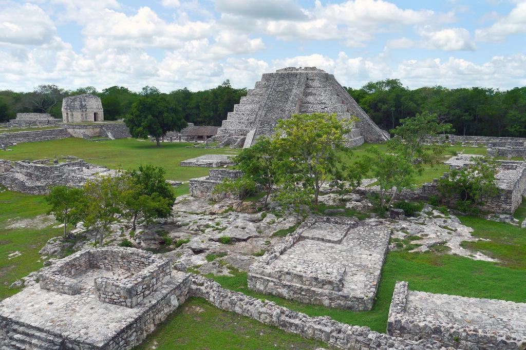
Ruins of an ancient Mayan city in the Yucatan; there are lots of facts about the ancient Mayans, and Native American cultures generally, which shall never be fully known, no thanks to the genocides enacted by European colonizers and their offspring – courtesy of Fodors Travel Guide
In the late 18th and early 19th centuries, the first European and white American settlers explored the area near Bryce Canyon. Mormons visited the area to deduce its potential for agriculture, grazing, and settlement. Ebenezer and Mary Bryce, whose surname was later given to the canyon, lived in the area circa the 1800s per Mormon settlement commission. U.S. Army Major John Wesley Powell led the first major scientific expedition to the area in 1872. The wave of white settlement already drove out many indigenous peoples, but drought, overgrazing, and flooding (some brought on by whites themselves) pushed the remaining Paiutes away from the canyon and surrounding lands.

Ebenezer and Mary Bryce, namesakes of Bryce Canyon – courtesy of Eastern Arizona Courier
In the 1920s, Bryce Canyon Lodge was built. It and people in a growing tourist industry contributed to advertisements for the canyon in 1916 magazines from Union Pacific and Santa Fe railroads. After industry infrastructure was built up, interest in Bryce Canyon and its surroundings grew (to where Union Pacific itself was interested in expanding rail service into southwestern Utah to accommodate tourists). This wasn’t without concern from environmental advocates, who were alarmed by the overgrazing, logging, and unregulated visitation and their effects on the canyon’s features.

Courtesy of National Park Maps
National Park Service Director Stephen Mather proposed Bryce Canyon be made into a state park. The governor of Utah and the Utah State Legislature lobbied for national protection of the area, and Mather relented. He sent his recommendation to President Warren G. Harding, who declared Bryce Canyon a national monument on June 8, 1923. In 1928, Bryce Canyon was a National Park, and has since expanded from its original boundaries to what it encompasses today.
Bryce, Birds, Blooms
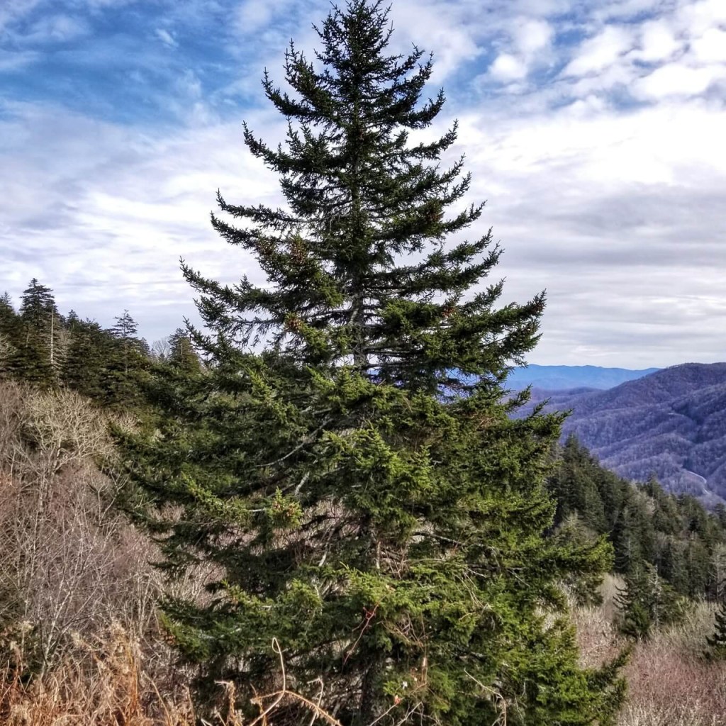
Bryce Canyon’s part of the Colorado plateau is wetter than the majority, giving it a lusher character in an ocean of aridness. Three distinct climate zones of Bryce are the spruce/fir forest (highest), Ponderosa pine forest, and pinyon juniper forest (lowest) across 2,000 feet of elevation. Cedar trees also grow in perceivable amounts.
Red spruce – courtesy of GreenTec Nursery

Fraser fir – courtesy of The Spruce
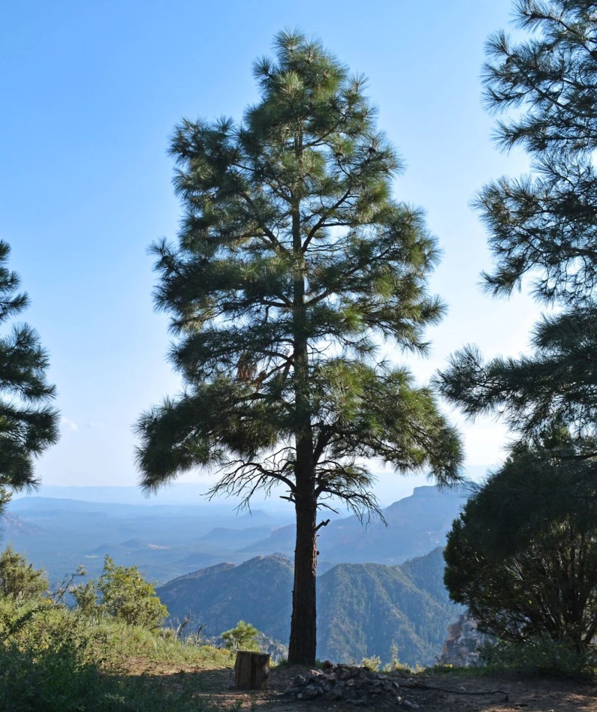
Ponderosa pine – courtesy of Bower & Branch
Pinyon juniper woodland – courtesy of Colorado Native Plant Society
Eastern Red Cedar, in the same family as the cedars rooted at Bryce Canyon – courtesy of Piedmont Master Gardeners
Wildflowers of the canyon include Rocky Mountain paintbrush, bush cinquefoil, and rock columbine.
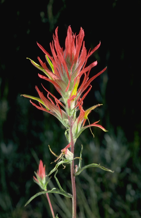
Narrowleaf paintbrush, related to paintbrush flowers at Bryce Canyon – courtesy of National Park Service
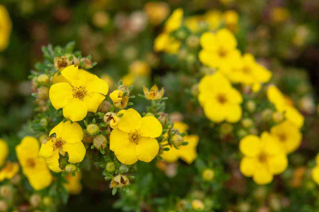
Shrubby Cinquefoil, bush cinquefoil variety – courtesy of The Spruce
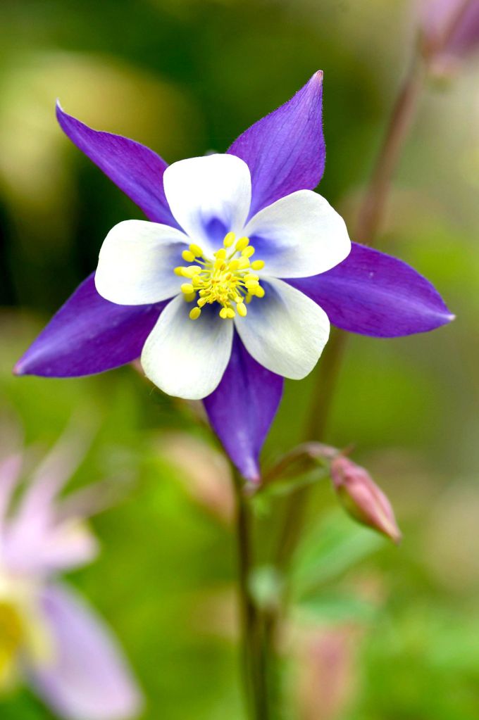
Rock columbine – courtesy of Better Homes & Gardens
Animals are less confined by Bryce’s three climate zones and tend to travel for resources. Utah Prairie Dogs, antelope, Peregrine Falcons, California Condors, Clark’s Nutcrackers, and short-horned lizards can be found here.
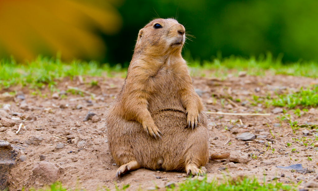
Utah Prairie Dog, unleashed (not that it was leashed to begin with) – courtesy of Outsider

Antelope in Utah – courtesy of iNaturalist
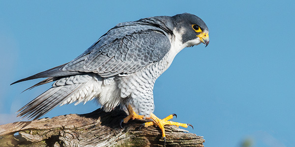
Peregrine Falcon – courtesy of National Wildlife Federation
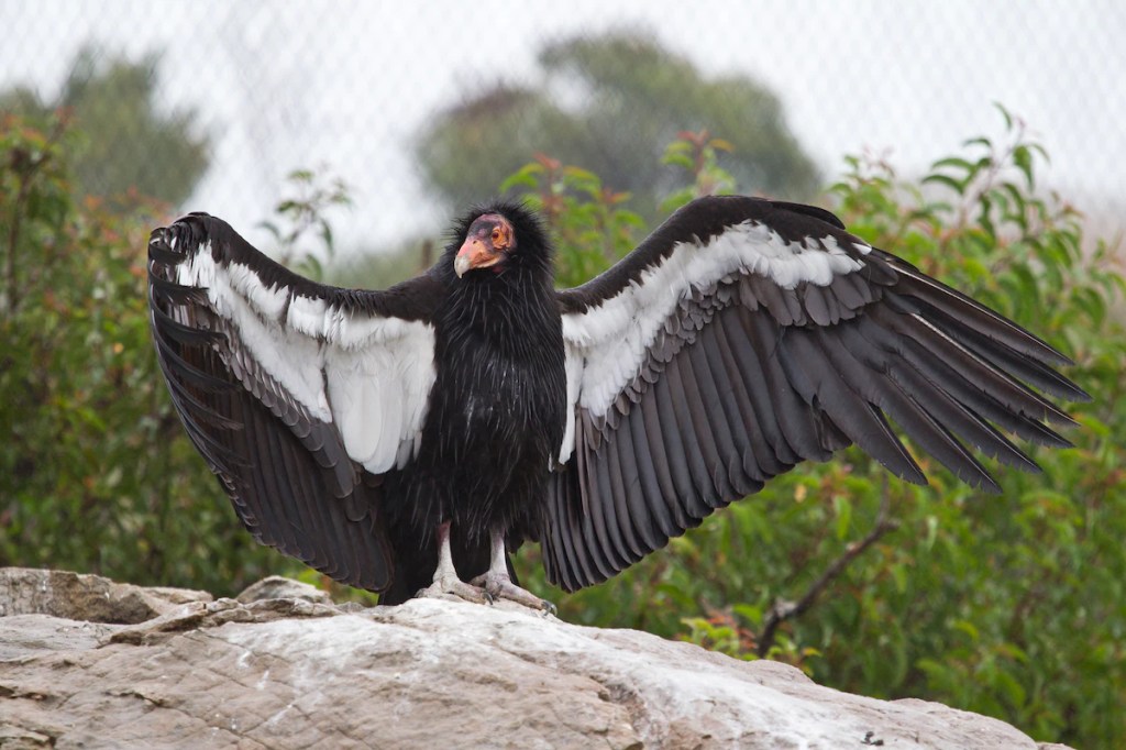
California Condor – courtesy of The Washington Post
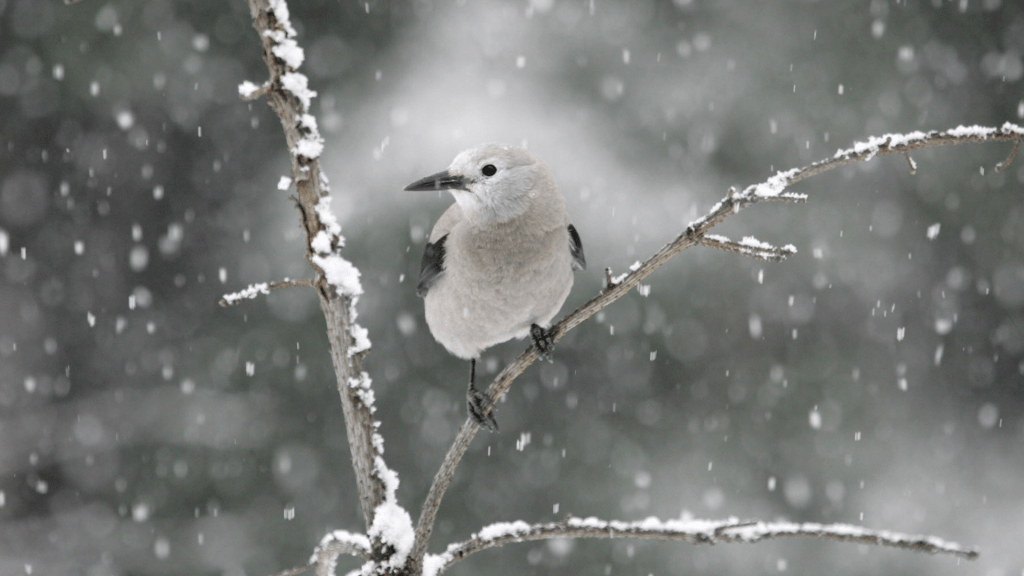
Clark’s Nutcracker in the right season – courtesy of Glacier National Park Conservancy
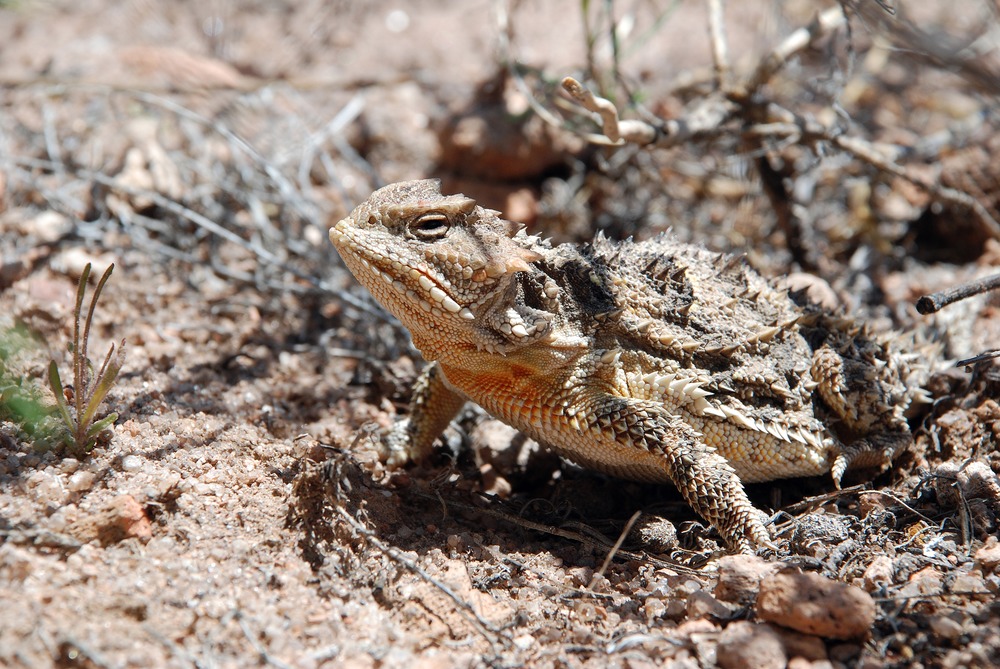
Short-horned lizard – courtesy of National Park Service
Let’s Make the Page Title Accurate and Finish

Fried rice – courtesy of Times Food

Craps, dice game here taking place in Las Vegas, Nevada – courtesy of Las Vegas Direct
Courtesy of Sunset Magazine
Sources:
- “Geology of Bryce Canyon National Park”. USGS. https://www.usgs.gov/geology-and-ecology-of-national-parks/geology-bryce-canyon-national-park
- “American Indian History”. National Park Service. 23 June 2020 (Updated). https://www.nps.gov/brca/learn/historyculture/americanindianhistory.htm#:~:text=Fremont%20and%20Anasazi%20people%20occupied,cultures%20on%20the%20Kaiparowits%20Plateau.
- “Bryce Canyon History”. Trails Bryce Canyon. https://trailsbrycecanyon.com/history/
- “Ecology of Bryce Canyon National Park”. USGS. https://www.usgs.gov/geology-and-ecology-of-national-parks/ecology-bryce-canyon-national-park#:~:text=Many%20animals%20(deer%2C%20squirrels%2C,middle%20altitudes%20of%20Bryce%20Canyon.
