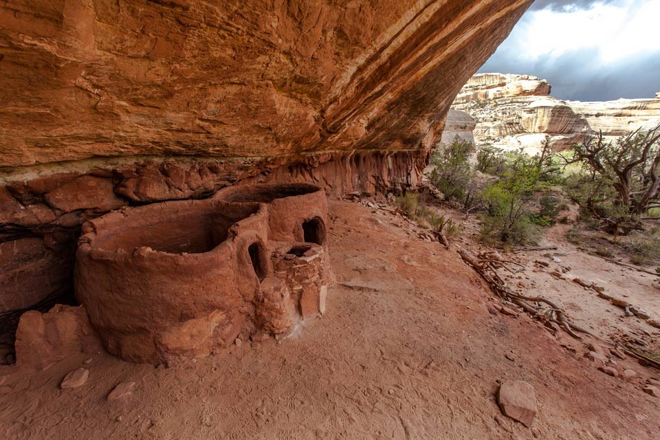
Remnants of a Native American settlement in Natural Bridges – courtesy of National Park Service
Natural Bridges National Monument is located in San Juan County, Utah. From the title alone, one anticipates fine stone work from nature … you’ve no idea how right you are.
Table of Contents:
- Table of Contents:
- Building the Bridges
- First Peoples Across and Under the Bridges (Plus Later “Discovery” and National Park Establishment)
- Bridging the Gap Between Flora and Fauna
- Crossed the Bridge …
Building the Bridges
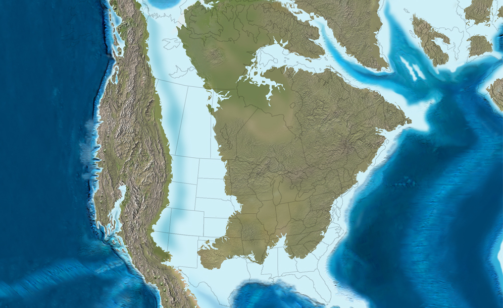
Natural Bridges, instead of being underneath the Western Interior Seaway, was instead a beach bordering it 260 million years ago. Per the WIS’ growth and shrinkage, sand, silt, and mud layers were dispensed into stacked layers, which today can be seen in the park in the form of rock strata on canyon walls. 10 million years ago, tectonic plates collided and pushed the stacked layers upward, crafting what is today the Colorado plateau.
The WIS’ expansion and contraction meant pieces of land were alternately surfaced and submerged – courtesy of Earth.com
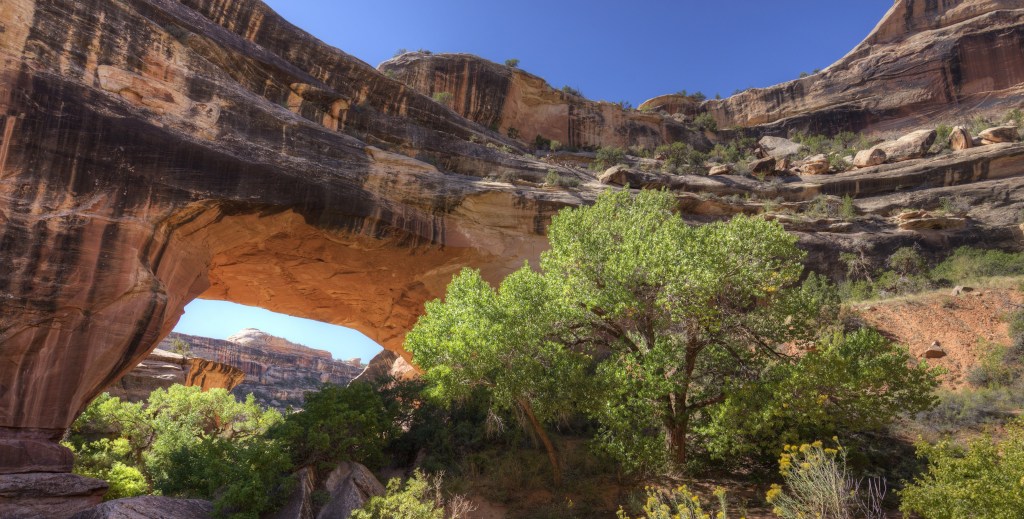
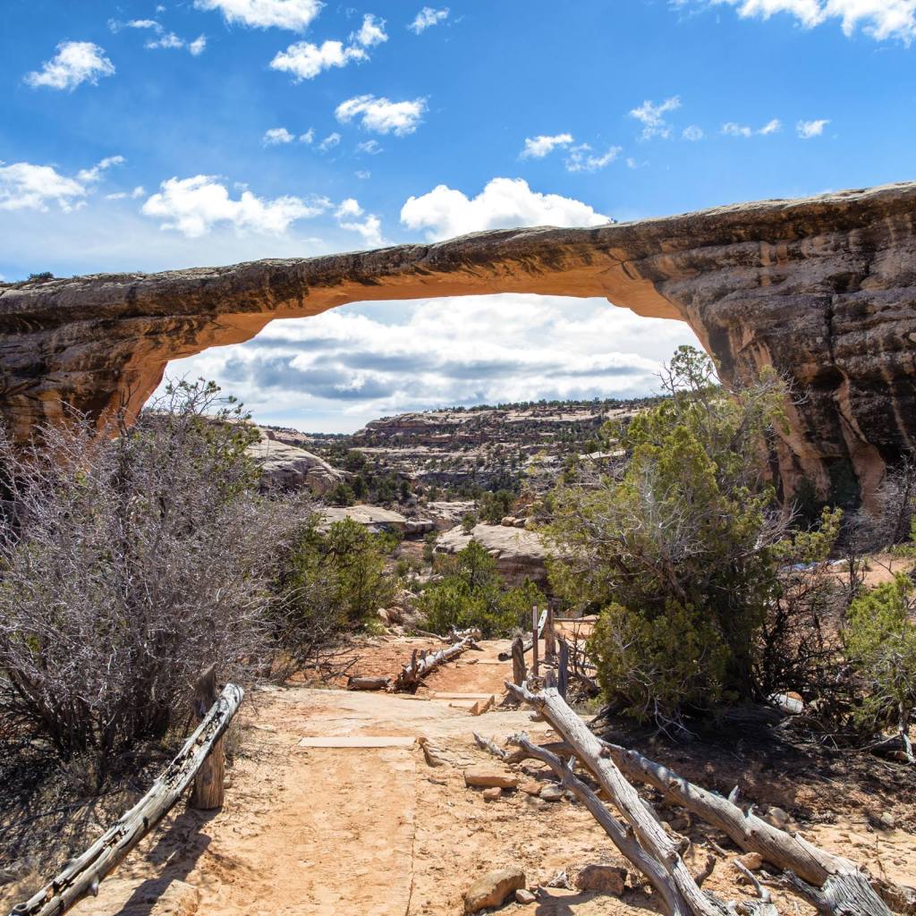
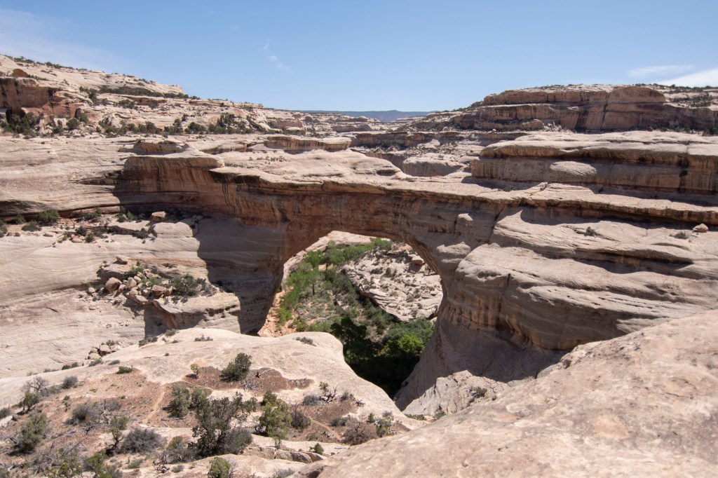
Some of the plateau’s streams separated the land into canyons and valleys. As water pounded the canyons’ walls, the rock crumbled and left behind natural bridges above the newly-made streambed. Instead of a singular consistency, the bridges at Natural Bridges are divided into two types. The first of these are thick and massive, such as the Kachina Bridge. Erosion makes the bridges more delicate with time, until they become thin (second type) like Owachomo Bridge (the oldest one here) and, eventually, collapse.
Bridges such as Kachina (pictured) haven’t been dealt significant erosion yet, hence their thickness – courtesy of Outdoor Project
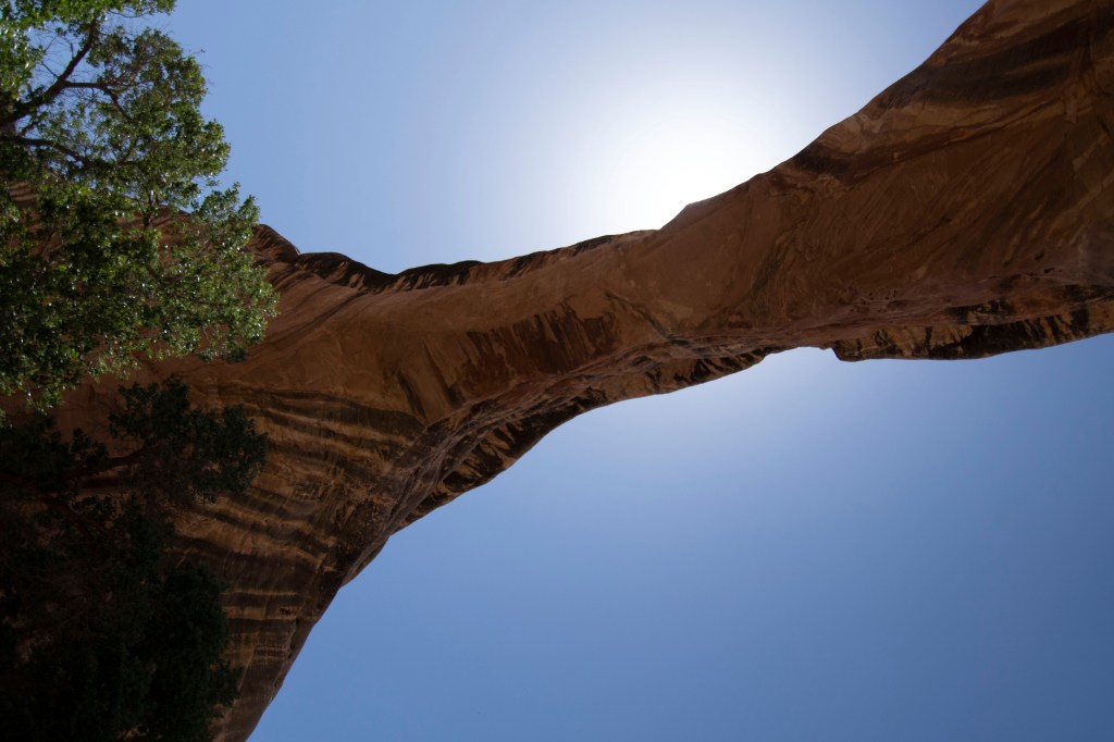
Natural Bridges, to the uninformed, may seem a usual feature of the American Southwest, but in truth they’re surprisingly rare. They differ from arches in that they form when a watercourse breaks through rock … though, both bridges and arches of the Colorado plateau are shaped via the same erosional processes.
Sandstone erosion – courtesy of ScienceDirect
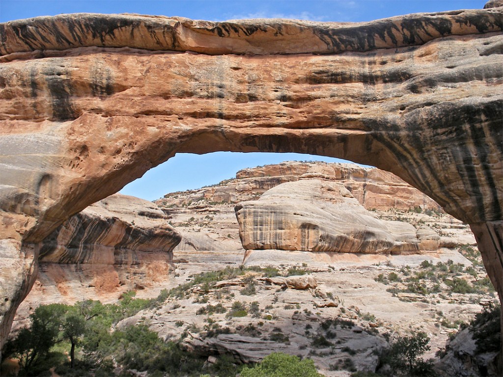
Even in the best-staged photos of Owachomo Bridge, one can tell it is astoundingly thin (by rock standards); it won’t be a sight for human eyes in the far future – courtesy of Intermountain Healthcare
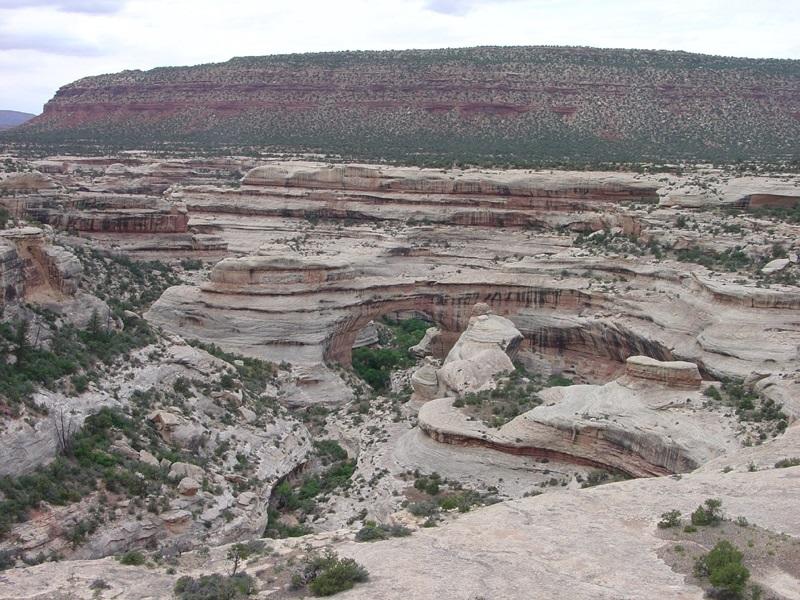
Of the bridges here, Sipapu Bridge is the longest and largest, older than Kachina but younger than Owachomo. It is 220 feet (67 meters) high, 31 feet (9.5 meters) in width, and 53 feet (16 meters) thick. The rounded opening and smooth sides of Sipapu point towards its flood-scoured-rock-and-sand origins. The earliest name of the bridge has been lost to time, though the Paiute referred to it (as all rock bridges) as mah-vah-talk-tump (roughly “under the horse’s belly”). The bridge has undergone several name changes in the past century. From 1883-1904, it was named President. From 1904-1908, it was name Augusta (after explorer Horace Long’s wife). From 1908 onwards, it has been Sipapu. The current name for the arch, given by government official William Douglas, is derived from the Hopi word for the opening between worlds. Douglas and his team believed Hopi were here. In actuality, little evidence suggests Hopi were at Natural Bridges for significant spans of time.
Sipapu does indeed look like the middle of a stone horse from select angles, or even a gateway (per two of its names) – courtesy of The American Southwest
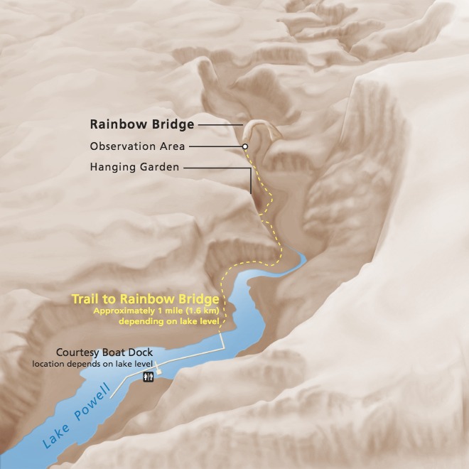
A notable nearby structure is Rainbow Bridge, one of the world’s largest natural bridges. Native Americans considered the bridge sacred, while 85,000 people globally visit the structure a year. Getting here requires either walking or access to the trail via a dock on Lake Powell, though the dock system has been moved to deeper water and no longer connects to the Rainbow Bridge trail shoreline. Hiking permits can be found near Navajo Mountain from Navajo Parks & Recreation.
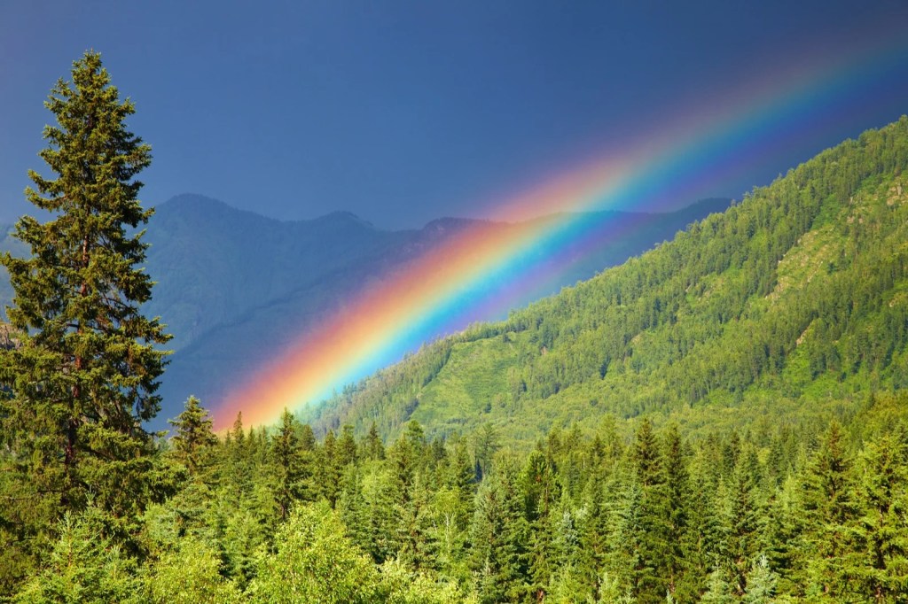
Rainbow over a forest – courtesy of Color Meanings
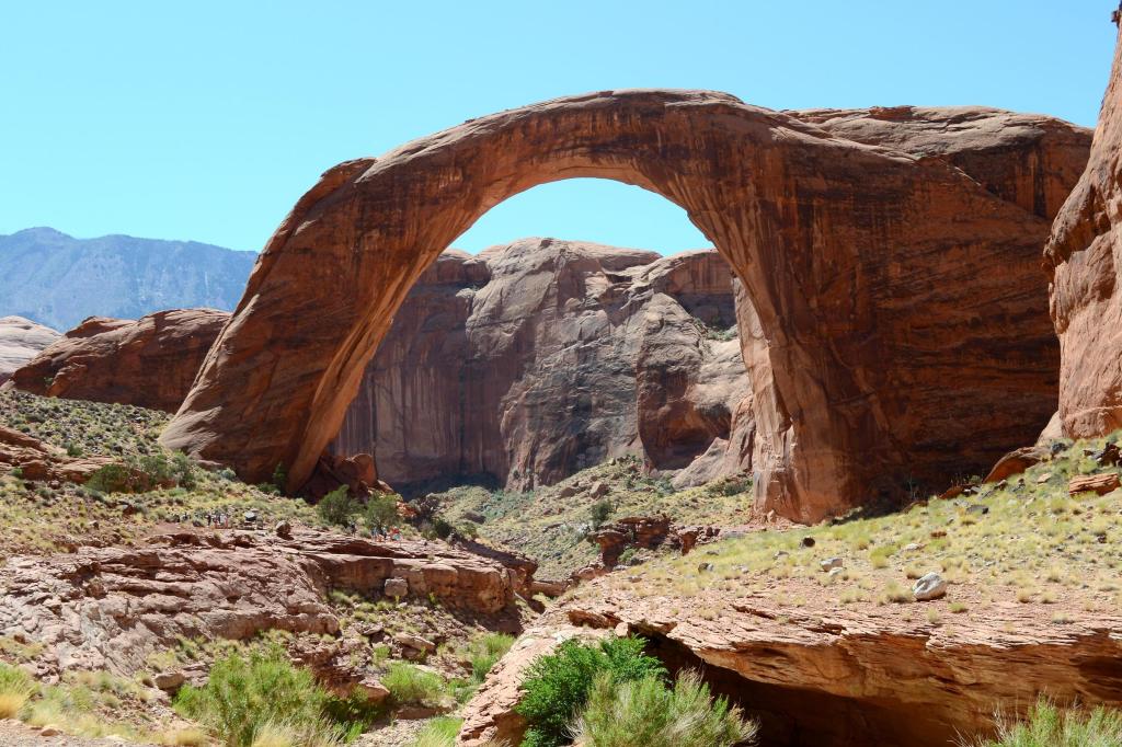
Rainbow Bridge’s arch resembles the phenomena which appears after rain – courtesy of Utah’s Canyon Country
Courtesy of National Park Service
National Bridges is located at the headwaters of White Canyon, which drains northward into Lake Powell (Glen Canyon). The white rock is the Cedar Mesa sandstone (of the Permian period). Red mesas and ridgelines of the surrounding upland consists of the Chinle Formation capped by cliffs of Wingate Sandstone (Triassic period).
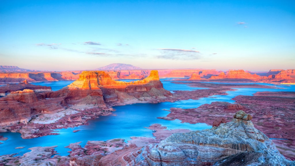
White Canyon’s waters discharge into Lake Powell – courtesy of Conde Nast Traveler
Cedar Mesa sandstone takes the form of white stripes – courtesy of USGS
Chinle Formation – courtesy of The American Southwest
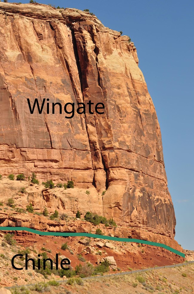
Layers of the Chinle Formation – courtesy of National Park Service
First Peoples Across and Under the Bridges (Plus Later “Discovery” and National Park Establishment)
The earliest peoples to enter the lands of the Bridges arrived between 7000 B.C. and 500 A.D. Information about these peoples is scant, as the only things they’ve left behind (as far as has been uncovered) are rock art and stone tools. Circa 700 A.D., Ancestral Puebloans settled in the area, but soon left due to environmental changes rendering their mesa-top farming techniques unsustainable. Ancestral Puebloans returned 300 years later, and with more adaptable techniques to boot. Homes were constructed with sandstone or mud-packed sticks on both the mesa tops and in alcoves below. South-facing caves provided heat and cooling, while farmers sought locations near seep springs for a steady aquatic supply (with plain rain and deposited rain, a fertile combo).
Masonry, ceramics, and more at Natural Bridges share styles found at Mesa Verde further east (a testament to the indigenous road systems, see our Chaco Canyon history page for more info). The Kayenta to the southwest and the Fremont to the north also lent influences. Ancestral Puebloans left Natural Bridges for good circa 1270 A.D. Later on, Dine (Navajo) and Paiutes inhabited the area; Dine folklore acknowledges Ancestral Puebloans and claims the two tribes mingled here.
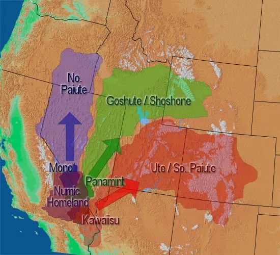
The Paiute weren’t geographically unified (an aspect of some Native American tribes even before European colonization); pre-Spanish-and-U.S. conquering, the Paiute were divided into Northern (Great Basin) and Southern (Colorado plateau); the latter called Natural Bridges home for some time – courtesy of Native-Land
In 1883, prospector Cass Hite traveled the Colorado river’s banks in search of gold, and along the way came across the lands which would be known as Natural Bridges. 1904 witnessed National Geographic’s publicization of the formations, while in 1908 President Theodore Roosevelt created Natural Bridges National Monument (Utah’s first National Parks land).
Bridging the Gap Between Flora and Fauna
Where there’s a bridge, there’s a river, and where there’s a river there’s flora and fauna … right? Not always (especially for arroyos/washes, see our Chaco Canyon history page for details), but no matter – veggies and animals are here.
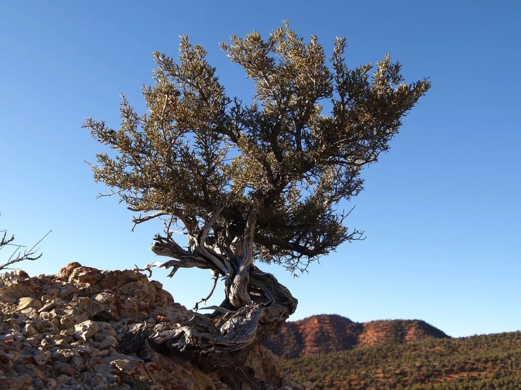
Pinyon pine, Utah juniper, mountain mahogany, cottonwood, cattails, and more comprise Natural Bridges’ plantlife.
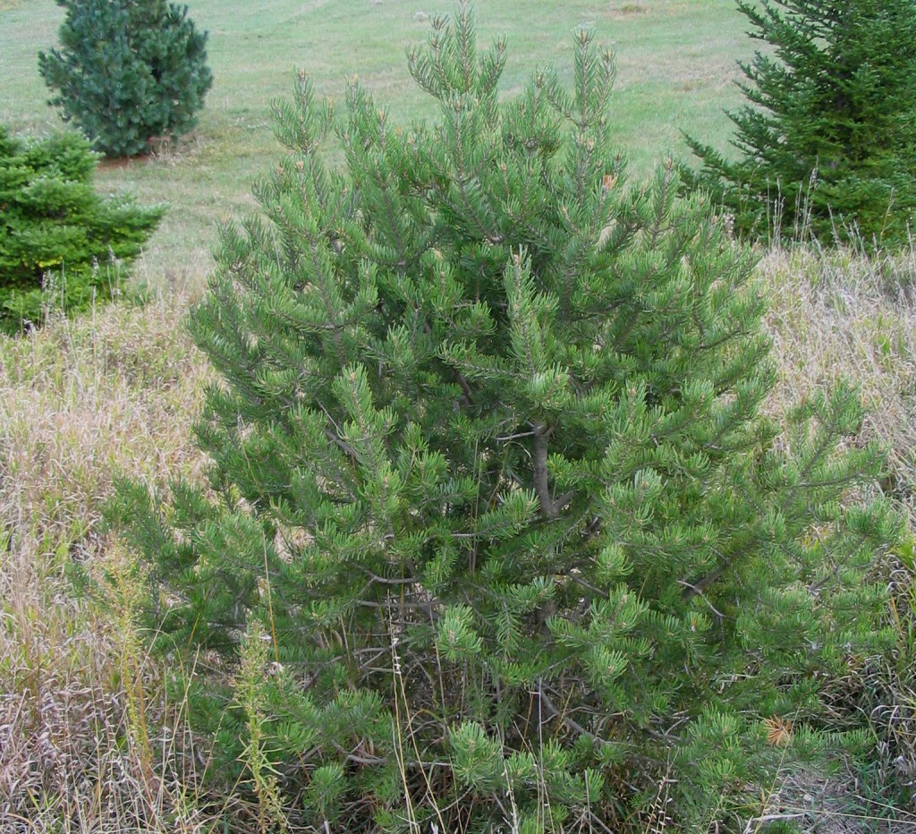
Pinyon pine, plentiful in this area – courtesy of Nebraska Forest Service
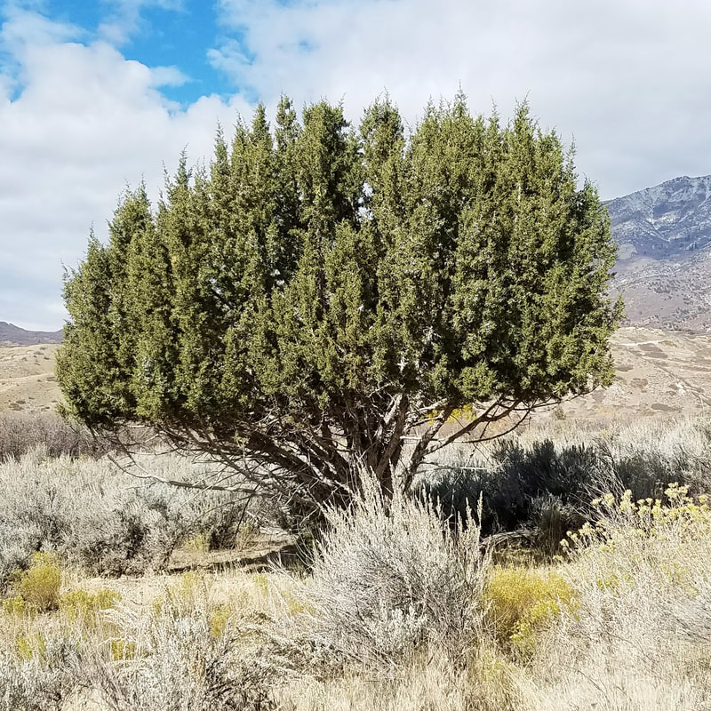
Utah juniper, usual here even if it isn’t June – courtesy of Alpine Nature Center
Mountain mahogany, an alluring alliterative tree – courtesy of Gardening Know How
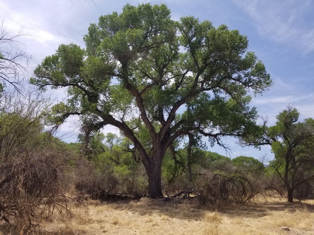
Cottonwood, of course; if you zoom in and analyze the bark and leaf clusters of many of the tree types showcased, you may notice that the former has a “dried-out” texture while the latter is clustered towards the top – courtesy of National Park Service
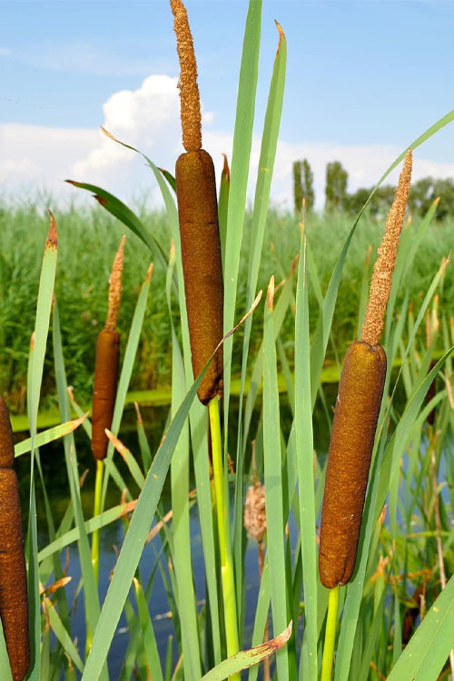
A cattail in the American Southwest; if/when you see them, keep their appearance in your head; they’re semi-rare beauties here – courtesy of Wilson Bros Gardens
Where there are plants, there often are animals to eat them (and those, in turn, can provide food for other animals). In Natural Bridges (as with surrounding areas), animals can be classified as nocturnal, crepuscular, and diurnal.
Nocturnal animals are active at night; in Natural Bridges, these include skunks, bobcats, and mountain lions.
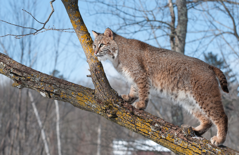
Caution is advised during night hours, as predatory creatures such as the bobcat can be, and often are, on the prowl – courtesy of Live Science
Crepuscular animals are active during dawn and dusk. These periods’ coolness and half-light conditions permit these creatures to search for food while evading predators (though some predators also exploit this occurrence). Crepuscular animals in Natural Bridges include coyotes, desert cottontails, and songbird varieties.
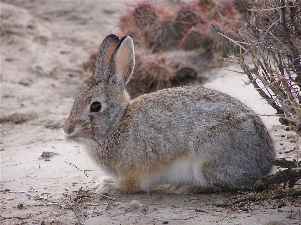
Here comes a desert cottontail, hoping down a sandy trail, hippity-hoppity from Phoenix to Santa Fe … okay, a bit beyond that, but still – courtesy of Montana Field Guide
Diurnal animals (arguably the least common in this section of the American Southwest) are active during the day. Rock squirrels, chipmunks, and hawks are but a few of these (already-not-too-abundant) species/types which risk overt heat during periods of risen sun. Notably, diurnal animals may have no choice but to risk dusk/dawn/night excursions if it’s too hot on a given day.
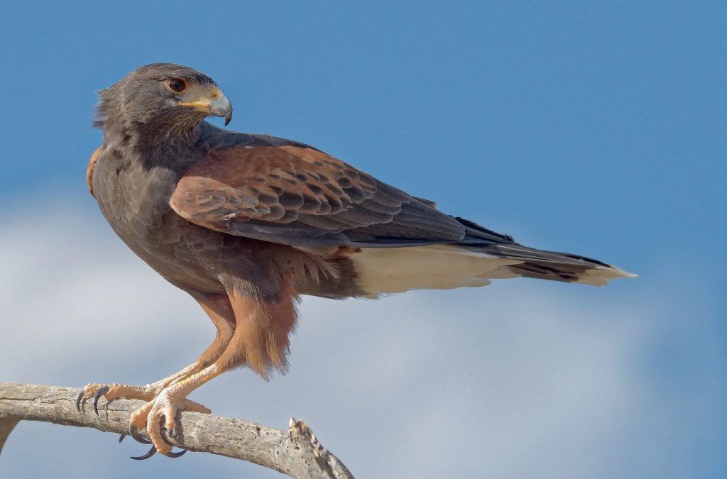
Eyes like a hawk – you’ll need them if you want to see hawks and other avian beings in Natural Bridges – courtesy of National Audubon Society
Crossed the Bridge …
Own Work
Own Work
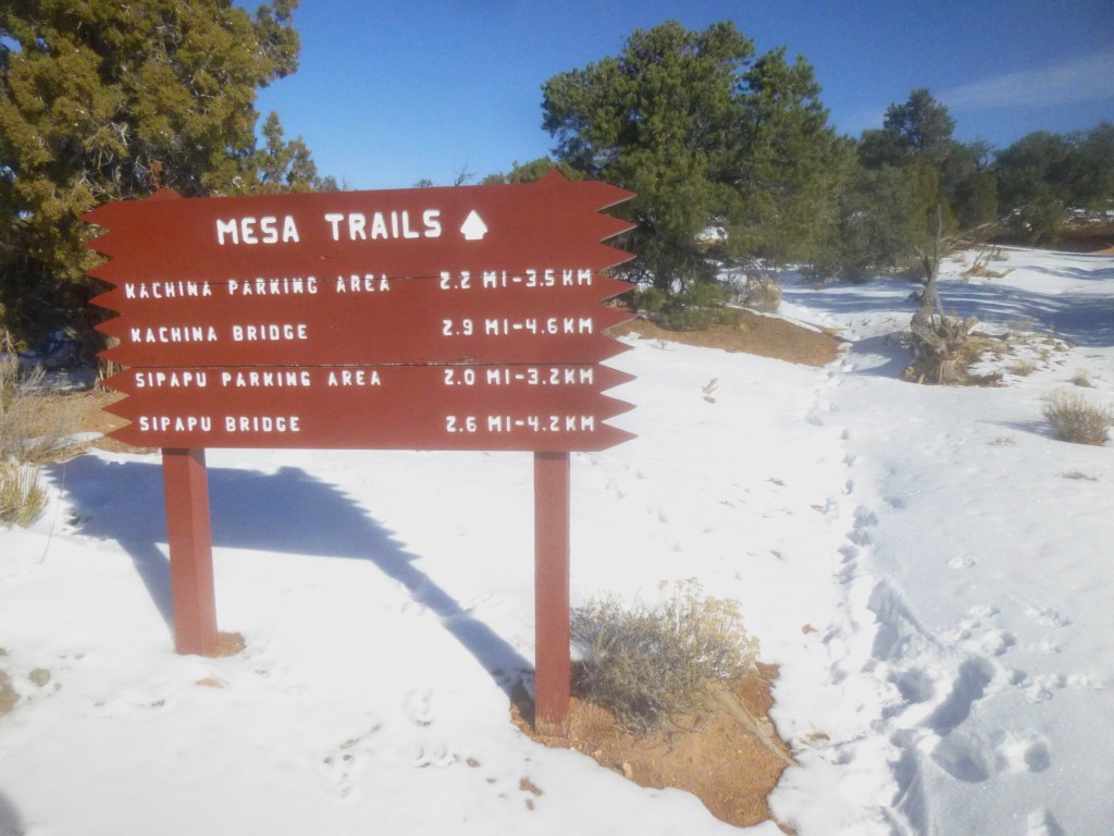
Snow here, as in the American Southwest generally, is rare – courtesy of Live and Let Hike
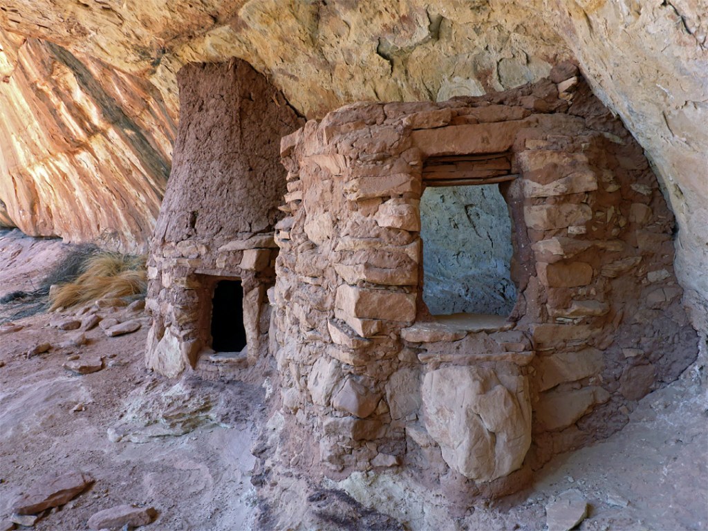
Per a pattern among ancient Native American settlements in the Southwest, these dwellings are under the arch of a cave/crevice; it meant peoples here were cool in summer and warm in winter – courtesy of The American Southwest
Geologic layers in this region can be caked with dark streaks known as desert varnish – courtesy of USGS
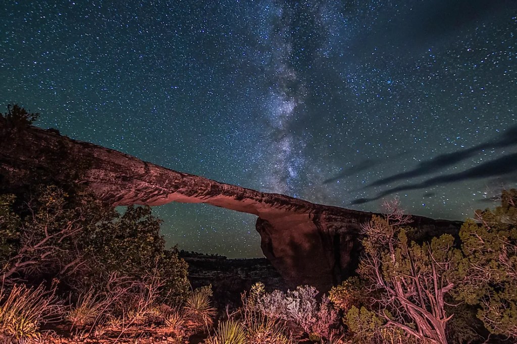
Image Credit: World Atlas
… but only on this blog page. As for this national monument itself: by all means, go ahead! Don’t expect a troll beneath and three billy goats gruff crossing, though.
Sources:
- “Geology”. National Park Service. 8 January 2018. https://www.nps.gov/nabr/learn/nature/geologicformations.htm#:~:text=260%20million%20years%20ago%2C%20the,rock%20strata%2C%20on%20canyon%20walls.
- “History & Culture”. National Park Service. 5 November 2020 (Updated). https://www.nps.gov/nabr/learn/historyculture/index.htm
- “Sipapu Bridge”. National Park Service. 31 March 2018. https://www.nps.gov/nabr/planyourvisit/sipapubridge.htm#:~:text=Sipapu%20is%20the%20largest%20and,three%20bridges%20in%20the%20Monument.
- “Geologic Formations”. National Park Service. 5 June 2015. https://www.nps.gov/rabr/learn/nature/geologicformations.htm
- “A Rainbow Turned to Stone”. National Park Service. 14 March 2022. https://www.nps.gov/rabr/index.htm
- “Vegetation Inventory and Map for Natural Bridges National Monument”. National Park Service. 18 October 2018 (Updated). https://www.nps.gov/im/vmi-nabr.htm
- “Animals”. National Park Service. 15 March 2018. https://www.nps.gov/nabr/learn/nature/animals.htm
- “Stratigraphy of the Natural Bridges National Monument”. Mira Costa. 7 January 2011 (Updated). https://gotbooks.miracosta.edu/gonp/coloradoplateau/naturalbridges_strat.htm#:~:text=Natural%20Bridges%20National%20Monument%20is,Mesa%20Sandstone%20(Permian%20age).
- “Changing Lake Levels”. National Park Service. 22 February 2023 (Updated). https://www.nps.gov/glca/learn/changing-lake-levels.htm
ancient publeon Casa Riconda Chacoan Great Houses Chaco Culture National Historical Park cliff palace Hugo Pavi isla mujeres Junior Park Ranger program Kivas long house mesa verde Mesa Verde audio tour mug house National Park North Beach petroglyphs Petroglyph trail Pueblo Bonito Pueblo del Arroyo Recreation.gov reviews Square House Tower Supernova tour ultramar Una Vida Wetherill mesa whale shark snorkel
