” I, Theodore Roosevelt, President of the United States of America, by virtue of the power in me vested by section two of the afore said act of Congress, do hereby set aside as the Chaco Canyon National Monument”- March 11, 1907
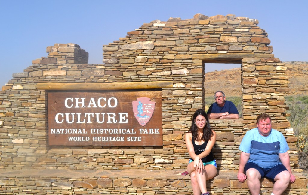
Chaco Canyon national monument proclamation. Chaco Canyon National Historical Park.
https://www.theodorerooseveltcenter.org/Research/Digital-Library/Record?libID=o299422. Theodore Roosevelt Digital Library. Dickinson State University.
TABLE OF CONTENTS:
- Getting Here:
- Demographics:
- Cultural Sensitivity:
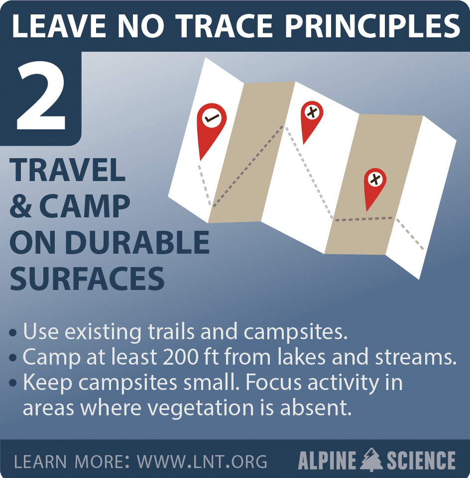
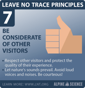
- Practice the 7 Principles of Leave No Trace
- Touring Chaco:
- Where To Begin:
- Stop 1: Una Vida & Petroglyphs- 1 mile Roundtrip, allow 45 min
- Stop 2: Hungo Pavi- 1/4 mile Roundtrip, allow 30 min
- Stop 3: Chetro Ketl- 1/2 mile Roundtrip, allow 45 min
- Petroglyph Trail-connects to Pueblo Bonito- they share a parking lot!
- Pueblo Bonito- 1/2 mile Roundtrip, allow 45 min- 1 hour
- Pueblo del Arroyo- is located across from Pueblo Bonito and marks the start of the return loop. 1/4 mile- allow 30-45 min.
- Casa Rinconada- is located on the Pueblo Del Arroyo loop path. It is the largest Kiva on site. See Chaco Past to Present for detailed information.
- Hiking:
- Penasco Blanco Trail- accessed from the Pueblo Arroyo parking lot- fill out a permit. Trail leads to famous Supernova pictograph
- The Necessities-
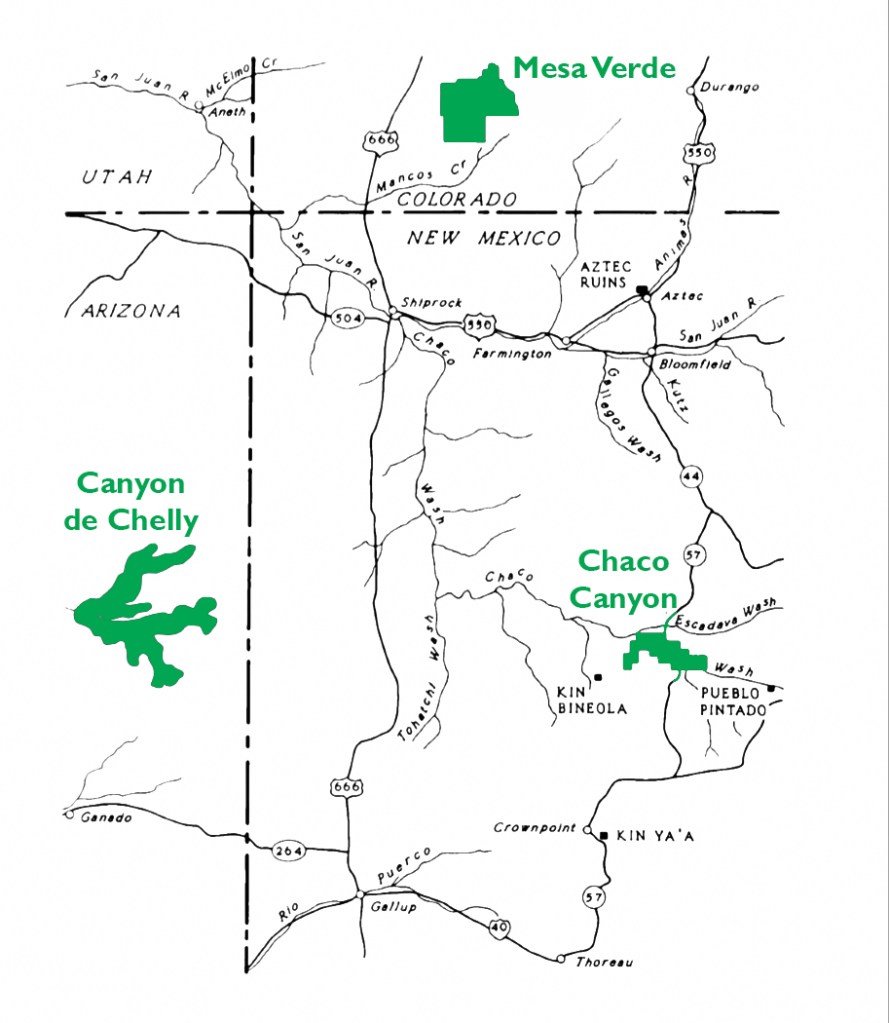
Getting Here:
Map Courtesy of the National Park Service.
Chaco Canyon, a National Park in northwestern New Mexico, is accessed by dirt/gravel roads. Once you exit the main road, there are no gas stations, food stops, restrooms, or water suppliers, so plan accordingly. The nearest lodging is in the following areas:
Lodging
- Camping is the only lodging available in the park .
- Bloomfield (61 miles, an hour and a half)
- Aztec (69 miles, an hour and a half)
- Farmington (74 miles, an hour and a half)
- Albuquerque (151 miles via Highway 550, 3 hours)
- Santa Fe (178 miles via Highway 550, 3 hours)
- Gallup (94 miles, 2 and a half hours)
While much of the route to Chaco is sufficiently paved, the final 13 miles (particularly the last 4 miles) are on dirt/gravel with deep potholes, a washboard like surface, and soft sand shoulders. If there is a problem, there is no easy access to help. The road can be navigated with a car/minivan, but a high clearance vehicle will make the journey less stressful. Check your rental car policy to ensure they cover this adventure. Go slow; the road is not well traveled, so you won’t be pressed for space. Be patient; it may seem like you are on the road forever, but stay the course and you will reach the park entrance. Once in the park, the roads are well maintained. This link will take you to the directions by the National Park Service:
https://www.nps.gov/chcu/planyourvisit/directions.htm. There is no/minimal cell service once you leave the main highway, so do not rely on your phones. Print out directions from the national park website at the link above or from Google Maps-https://www.google.com/maps/place/Chaco+Culture+National+Historical+Park/@36.0529998,-107.9581181,17z/data=!3m1!4b1!4m5!3m4!1s0x873ca8d11d034229:0x85ada4a02ba04512!8m2!3d36.0529998!4d-107.955924


These are picture of the road leading Chaco – courtesy of the National Park Service.
Demographics:
- A UNESCO World Heritage Site
- Approximately 40,000 visitors/year
- Area: 33,977.8 square miles
- Approximately 5,000 people inhabited Chaco and its surrounding area
- Ancient Puebloan culture site.
Cultural Sensitivity:
Chaco Canyon is regarded by many Southwestern Native Americans as a sacred migration stop for their clans’ journey. When visiting the park, please remember you are a guest. Leave shards of pottery where they are. Pack out what you bring in. Take only memories and leave the park pristine so it can be enjoyed by generations to come.
Practice the 7 Principles of Leave No Trace


Touring Chaco:
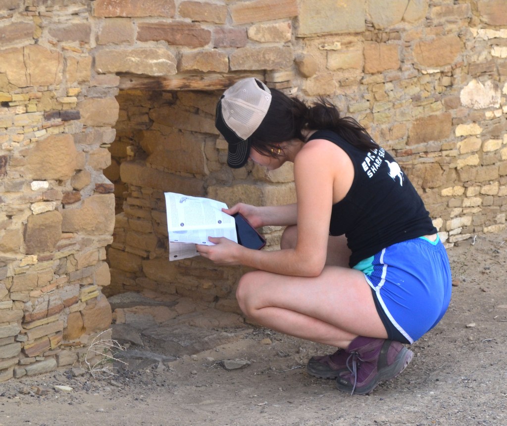
When you arrive at the park entrance- you will need to pay your entry fee, show a pre-purchased online ticket or appropriate National Park Pass- see the National Park for options https://www.nps.gov/chcu/planyourvisit/basicinfo.htm. After clearing the entry, you will now be on a ONE WAY loop drive. The first stop is the Visitor’s Center. If you are planning on doing Chaco in one day- you may start your day before the Visitor’s Center opens, however, if seeing the Visitor Center movie and displays are important- than it is best to do these before you start on the loop- otherwise you will need to circle the entire 9 mile loop back to the entrance All hiking trails and archaeological sites are open from 7am until 5:00pm. At 5:00 PM, you must be leaving or if you are camping, you need to be back in the campground.. There are site maps available for sale at the Visitor Center that help explain each Chacoan Great House. You can also purchase these at Western National Parks Association https://store.wnpa.org/catalogsearch/result/index/?q=chaco

Where To Begin:
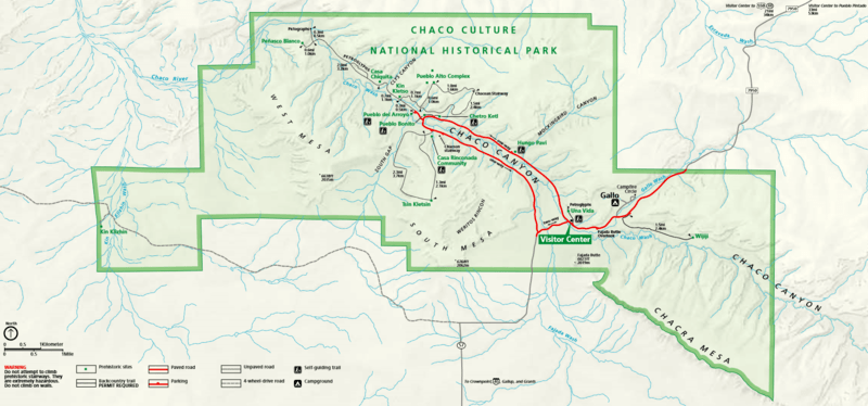
Map Courtesy of the National Park Service
Stop 1: Una Vida & Petroglyphs– 1 mile Roundtrip, allow 45 min
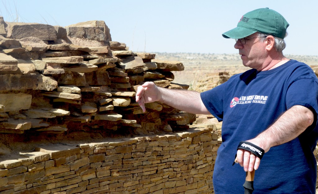
Una Vida is a Chacoan Great House that exists in its natural preservation state. The trail begins at the northeast corner of the Visitor Center parking lot. The trail is rated EASY, relatively flat- there will be stones and some rough patches. Be sure to look for the park’s clearest petroglyphs (you have to hike a bit uphill). Beneath the petroglyphs is a flat boulder where you can sit and overlook the area’s scenery.
Stop 2: Hungo Pavi– 1/4 mile Roundtrip, allow 30 min
Two miles from the Visitor Center- Hungo Pavi is an unexcavated Chacoan great house (monumental public building) containing over 150 rooms, a great kiva, and an enclosed plaza. Much of the site is covered by sand and natural vegetation to demonstrate how the site looked when discovered. Please stay on the trail- footprints off trail destroy the network of sand, and vegetative roots that prevent sand from blowing completely away.
Stop 3: Chetro Ketl– 1/2 mile Roundtrip, allow 45 min
Located 4.5 miles from the Visitor Center. This is the second largest Chacoan Great House spanning 3 acres with a Great Kiva, elevated kivas. Buildings had 2-3 stories. A plaza was constructed 12 feet off the ground.


Petroglyph Trail-connects to Pueblo Bonito- they share a parking lot!
Along the walkway look for petroglyphs. You can also see round holes were beams were inserted to support upper stories.
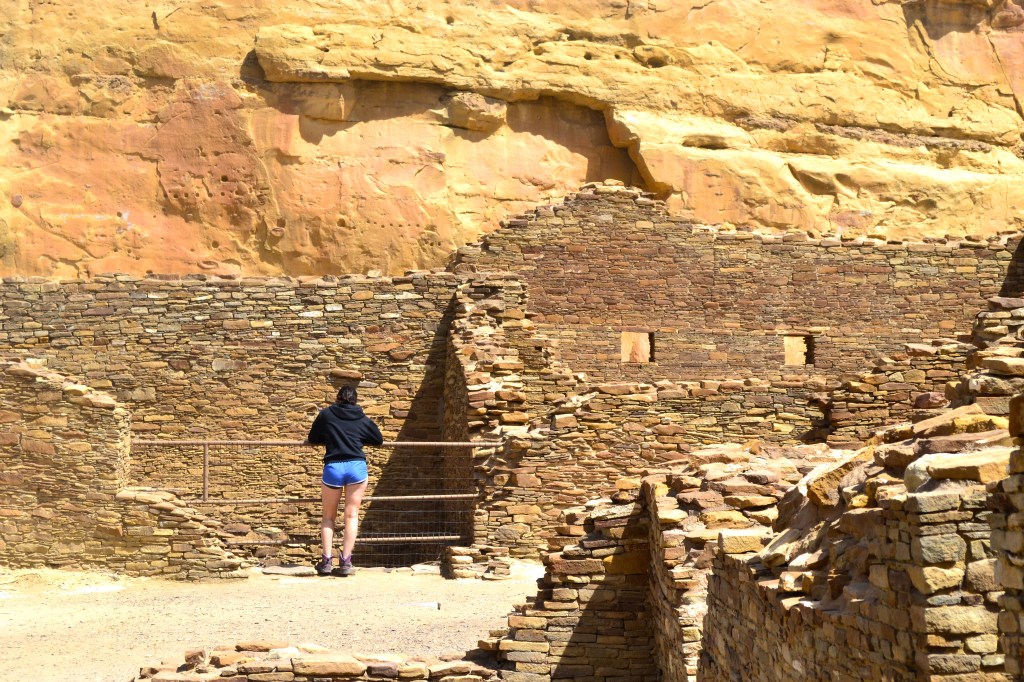
Pueblo Bonito- 1/2 mile Roundtrip, allow 45 min- 1 hour
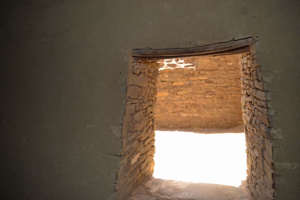
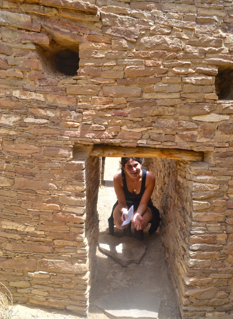
Pueblo Bonito is the most investigated site in Chaco Canyon. Standing at the end of the Petroglyph trail- one can see the wide open spaces with kivas to the right and the building structures to the left. Many people don’t climb the stairs into the building structure and that is a mistake. As you wander around the complex you encounter second story windows, the famous “T” shaped doors, intact, original floor/roof beams, and an intact room. You will have to do some bending- and maybe a bit of crawling to discover all the marvelous secrets within Pueblo Bonito.


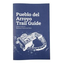
Pueblo del Arroyo- is located across from Pueblo Bonito and marks the start of the return loop. 1/4 mile- allow 30-45 min.
Located 5.5 miles from the Visitor Center. Pueblo Arroyo is another great example of Chacoan Great House, although it lacks a Kiva.


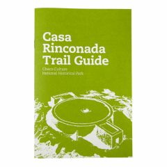
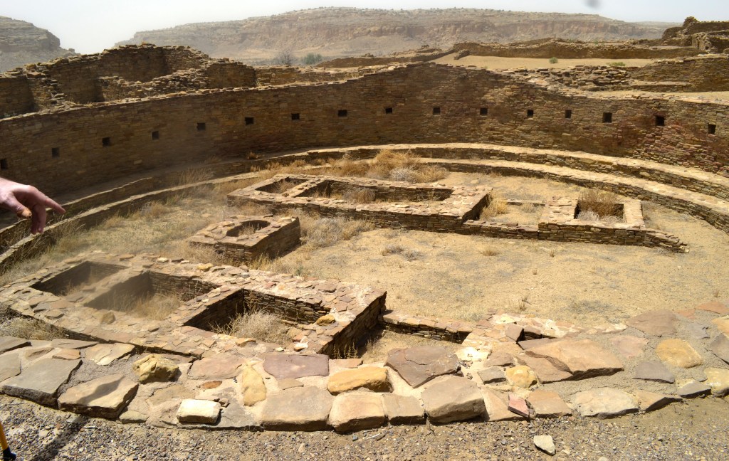
Casa Rinconada- is located on the Pueblo Del Arroyo loop path. It is the largest Kiva on site. See Chaco Past to Present for detailed information.


Hiking:
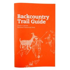
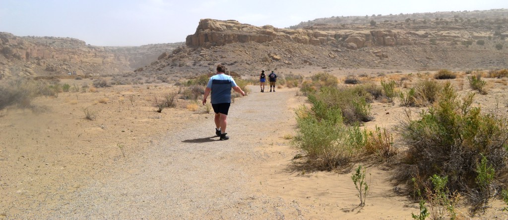
There are numerous hiking trails throughout the site. If you are planning on doing a hike, you may be required to fill out a permit. Permits are located at the trailhead parking lot. Before setting out on a hike be sure you are prepared. In your backpack you should be carrying: at least 2 liters of water/person, first aid kit, flashlight, pocket knife/tool set, a foil blanket, sunscreen, and a filtration straw. Trails may or may not be marked with signs- most are marked with cairns (a stacked set of rocks- please do not add or disturb these rocks). Topographical maps can be found at the Visitor’s Center as well as at All Trails https://www.alltrails.com/parks/us/new-mexico/chaco-culture-national-historical-park. Chaco Canyon is very isolated- if you need help- finding it will be a long process. Assess your skills carefully before heading out on one of the 19 trails.
Pueblo Alto Trail: Access from the Pueblo del Arroyo parking lot. Most Popular Backcountry Trail
This trail takes you on the ledge that overlooks the Pueblo Arroyo/Bonito complex. The trail can be done as one loop or in sections depending on your time.
- Entire Loop – 5.1 miles
- Pueblo Alto Complex Route – 3.2 miles
- Pueblo Bonito Overlook Route – 2.0 miles
The trail is rated as Easy- although one will have to negotiate through a slot canyon and the hike up to the ridge (bench) is the most difficult part.
The first view will be at the top of the ridge: Kin Kelso, followed by Pueblo Bonito, and Chetro Kehl further along,
Along the route- look for Shrimp Burrows- evidence of ancient sea life memorialized in Chaco Canyon’s sandstone.

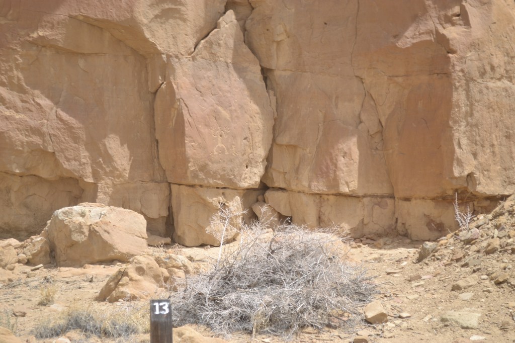
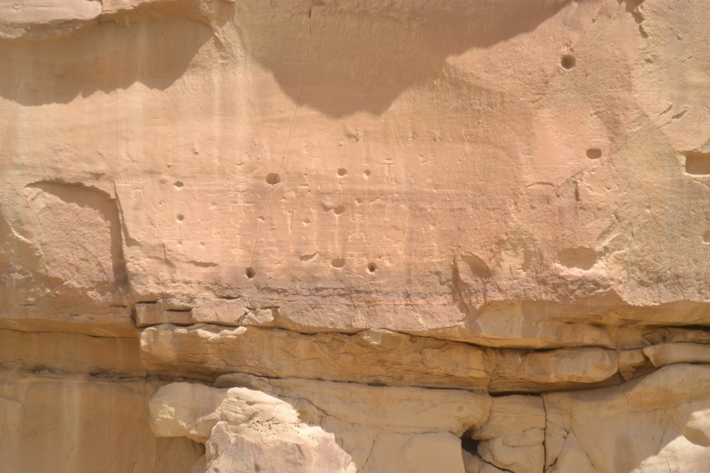
Penasco Blanco Trail– accessed from the Pueblo Arroyo parking lot- fill out a permit. Trail leads to famous Supernova pictograph
The trail is relatively flat (a few ups and downs) and easy to travel. Once you cross the wash- it becomes a mix of sand and dirt. It is IMPERATIVE- that NO RAIN has occurred 72 hours prior to crossing the wash. Please see the preceding trail for what you should carry.
- Petroglyph trail – 4.0 miles round trip
- Penasco Blanco – 8.2 miles round trip
From the kiosk- follow the road northwest. You will pass Kin Kelso in approximately 0.3 miles. Continue along the road, cross a shallow wash and arrive at Casa Chiquita at 1.1 miles. Shortly after, the road ends and the trial begins. At 1.7 miles you will reach the turnoff(to the right) for the Petroglyph trail. You can opt to take that trail which will reconnect you to the main trail and continue on to Penasco, or you can do the Petroglyph trail and turn back. The petroglyph trail has Pueblo and Navajo markings. If you continue onto the Supernova- rejoin the trail at the 2 mile mark. At 3 miles the trail turns west and you will cross Chaco Wash- do NOT attempt to cross the wash if there has been rain in the past 72 hours- any rain mixes with the dirt and creates slippery surfaces and quicksand material. On the other side of the wash, the trail climbs the bench to the base of the West Mesa cliffs. Here you will find the petroglyphs.

The Necessities-
Food– There is NO food available at Chaco Canyon or its campsites. The nearest commercial establishment is a convenience store located at the intersection of Hwy 550 and County road 7900. Be sure and pack everything- liquid and solid that you will need for your time at Chaco Canyon. Picnic tables are at many of the parking lots.
Water– Drinking water is available at the Visitor’s Center. It is recommended that one carry a minimum of 2 liters/day. If hiking on a hot day- the National Park Service recommends 1 quart of water/person/hour. Remember the high elevation and desert climate can accelerate dehydration without your awareness. Stay HYDRATED.
Elevation and Weather– Chaco Canyon is at an elevation of 6,200 feet which makes for hot (80-90s) summer days and below freezing winter days. Pop up thunderstorms cause flash flooding, lightning strikes, dropping temperatures, and hypothermia are all possible complications. Know your forecast before making the drive.
Dark Sky Park– Chaco Canyon is a certified International Dark Sky Park- evening astronomy programs are offered by the National Park Service periodically. If planning to see the night sky- driving out of the park at night would pose a serious safety risk.
Camping– Reservations can be made at https://www.recreation.gov/camping/campgrounds/250009
Restrooms– are available at the Visitor’s Center and (minus showers) at the Campground. Otherwise facilities are outhouse like structures with a stovepipe venting system that are generally very clean with minimal smell. Hand sanitizer and toilet paper are often available. These are located at various parking lots.
ancient publeon Casa Riconda Chacoan Great Houses Chaco Culture National Historical Park cliff palace Hugo Pavi isla mujeres Junior Park Ranger program Kivas long house mesa verde Mesa Verde audio tour mug house National Park North Beach petroglyphs Petroglyph trail Pueblo Bonito Pueblo del Arroyo Recreation.gov reviews Square House Tower Supernova tour ultramar Una Vida Wetherill mesa whale shark snorkel
ancient publeon Casa Riconda Chacoan Great Houses Chaco Culture National Historical Park cliff palace Hugo Pavi isla mujeres Junior Park Ranger program Kivas long house mesa verde Mesa Verde audio tour mug house National Park North Beach petroglyphs Petroglyph trail Pueblo Bonito Pueblo del Arroyo Recreation.gov reviews Square House Tower Supernova tour ultramar Una Vida Wetherill mesa whale shark snorkel
